Best Views of Earth From Europe’s New Plant-Mapping Minisatellite
May 11, 2014
Britain could become the world’s fourth largest economy within decades
May 11, 2014
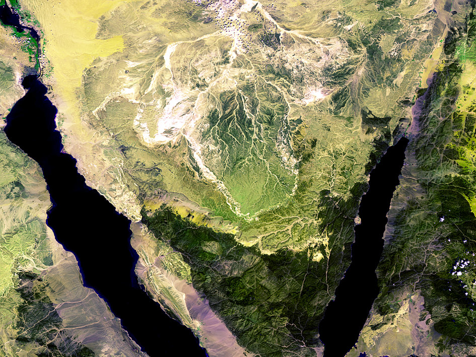
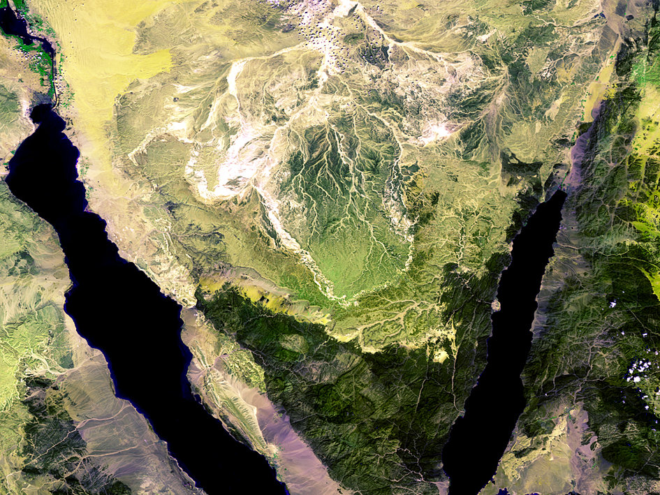
The Sinai Peninsula, taken by Proba-V on March 24, 2014. Photos by ESA/VITO
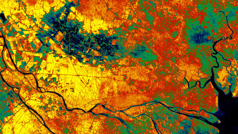
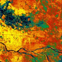
A colored vegetation index of the Mekong Delta in Vietnam, derived from Proba-V data in 2013. Photos by ESA/VITO
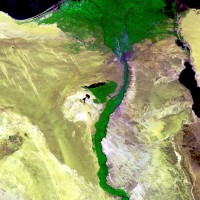
The Nile Delta in Egypt taken by Proba-V on March 24, 2014. Photos by ESA/VITO
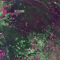
False-color image showing deforestation in Brazil, taken by Proba-V on Feb. 4, 2014. Photos by ESA/VITO
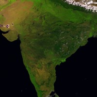
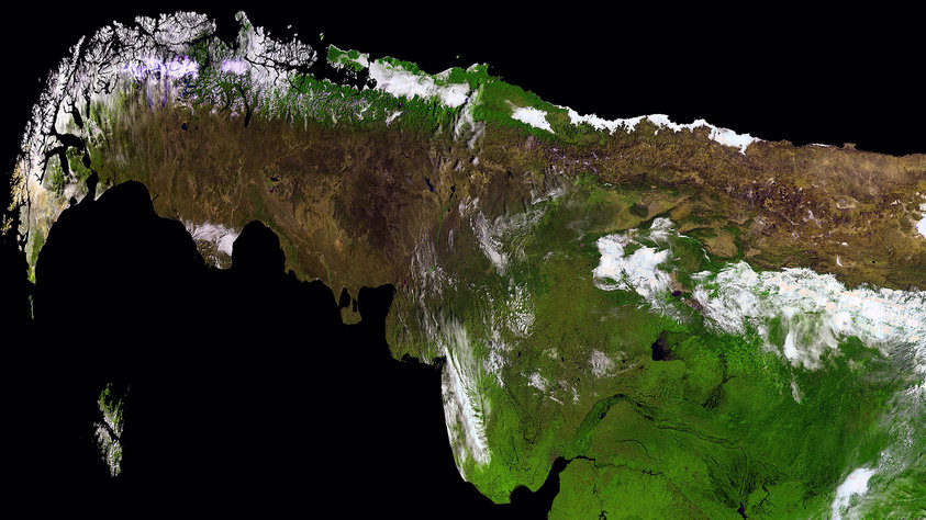
India from Sri Lanka to the Himalayas, taken by Proba-V on March 14, 2014. Photos by ESA/VITO
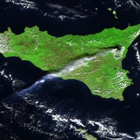
Ash and gas plumes from Sicily’s Mt. Etna, taken by Proba-V on Oct. 26, 2013. Photos by ESA/VITO
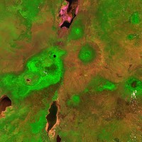
Ngorongoro crater in Tanzania, taken by Proba-V on Jan. 31, 2014. Photos by ESA/VITO
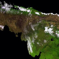
A different angle on South America, taken by Proba-V on April 23, 2014 Photos by ESA/VITO
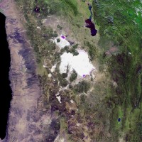
Bolivia’s Salar de Uyuni, the largest salt flat in the world, taken by Proba-V on March 31, 2014. Photos by ESA/VITO
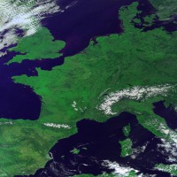
A nearly cloud-free view of Europe made of a mosaic of images taken by Proba-V on March 9, 2014. Photos by ESA/VITO
SIMILAR GALLERIES
9 of the World’s Most Outrageously Expensive Headphones
Incredible Historical Photos From One of the World’s Best Museums
400 Years of Beautiful, Historical, and Powerful Globes
Use Science and Tech to Build the Ultimate Automated Garden
See How Cadbury Hatches 350 Million Goo-Filled Eggs a Year
Could a Hotel Bring Back Los Angeles’ Theater Row?

The Sinai Peninsula, taken by Proba-V on March 24, 2014. Photos by ESA/VITO

A colored vegetation index of the Mekong Delta in Vietnam, derived from Proba-V data in 2013. Photos by ESA/VITO
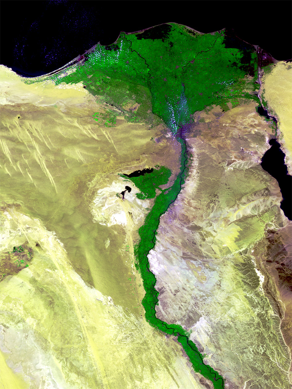
The Nile Delta in Egypt taken by Proba-V on March 24, 2014. Photos by ESA/VITO
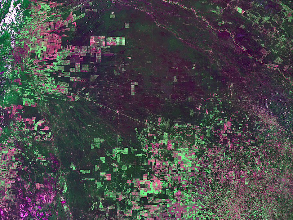
False-color image showing deforestation in Brazil, taken by Proba-V on Feb. 4, 2014. Photos by ESA/VITO
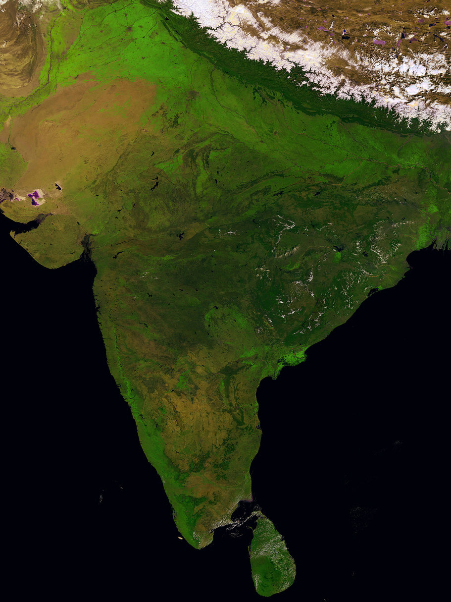
India from Sri Lanka to the Himalayas, taken by Proba-V on March 14, 2014. Photos by ESA/VITO
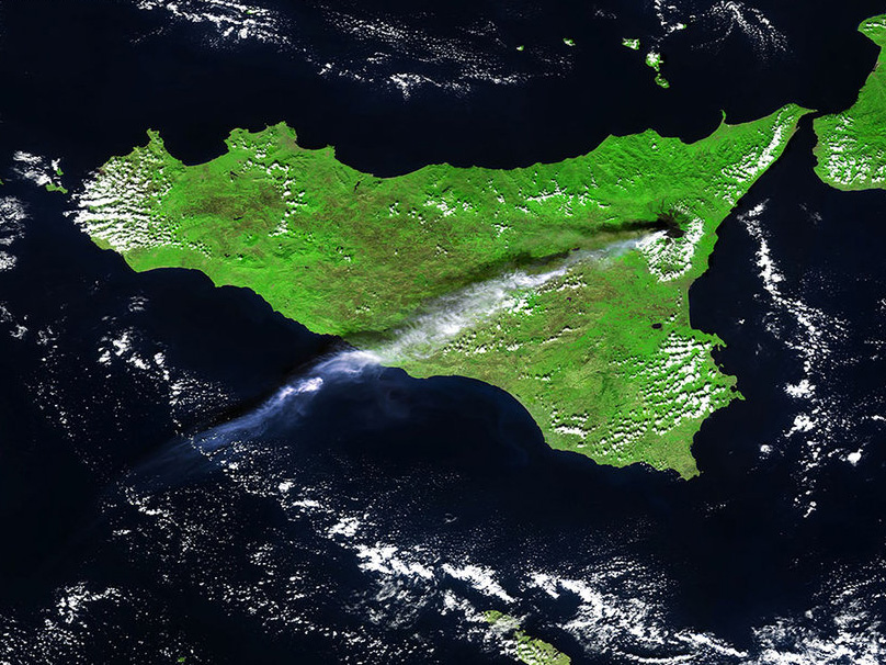
Ash and gas plumes from Sicily’s Mt. Etna, taken by Proba-V on Oct. 26, 2013. Photos by ESA/VITO
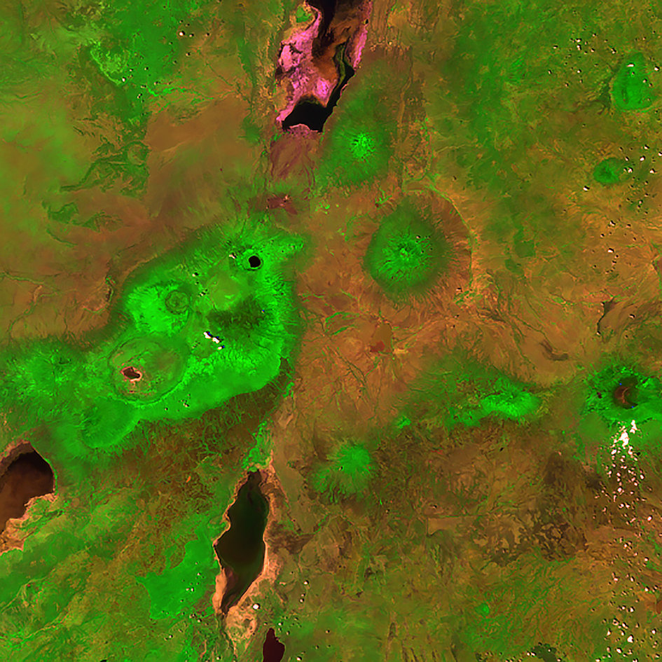
Ngorongoro crater in Tanzania, taken by Proba-V on Jan. 31, 2014. Photos by ESA/VITO
A different angle on South America, taken by Proba-V on April 23, 2014 Photos by ESA/VITO
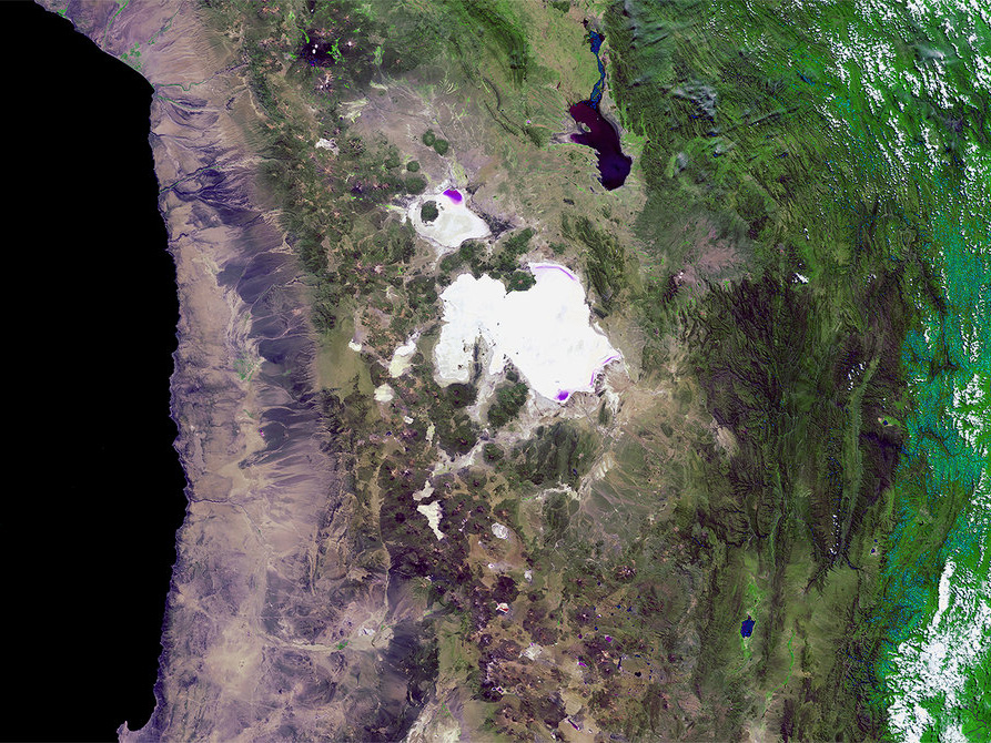
Bolivia’s Salar de Uyuni, the largest salt flat in the world, taken by Proba-V on March 31, 2014. Photos by ESA/VITO
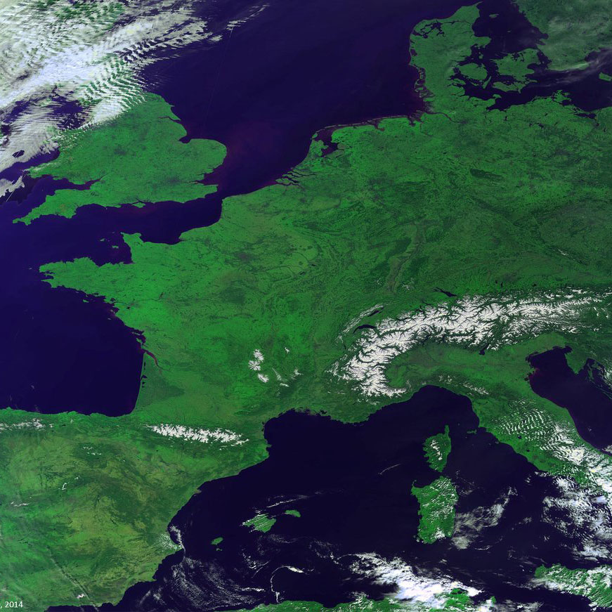
A nearly cloud-free view of Europe made of a mosaic of images taken by Proba-V on March 9, 2014. Photos by ESA/VITO
Launched on May 7, 2013, the European Space Agency’s minisatellite Proba-V monitors Earth’s plants, covering the entire planet every two days. At the end of the month, after a year in orbit, this little bundle of sensors will be taking over the job of a series of satellites that have been tracking the health of the planet’s vegetation for 16 years. The ESA’s Spot-4 satellite stopped working in 2013, and Spot-5 is on its last legs.
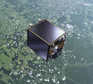
Artist’s rendering of the Proba-V satellite orbiting Earth. (ESA)
Not only is Proba-V the size of a washing machine, it looks a little like one too. The minisatellite has a huge, 1,400-mile-wide field of view — enough to cover most continents in a single shot. In order to get the best information about Earth’s flora, the satellite’s Vegetation instrument detects light in the blue, red, near-infrared and mid-infrared wavebands. The instrument has a 1,150-foot resolution.
Accounting for cloud cover, the satellite collects enough data for a nearly cloud-free global map every 10 days.
In addition to keeping track of vegetation growth, the little satellite’s data makes beautiful images. Here are some of its best views of Earth from its first year in orbit.

